
8 Best Handheld GPS (September 2026) Expert Tested
I’ve spent 15 years navigating backcountry terrain without cell service. In that time, I’ve tested GPS units from basic budget navigators to premium devices with satellite messaging. After analyzing the current market and studying real user experiences from hiking forums, hunting communities, and geocaching groups, one device stands above the rest.
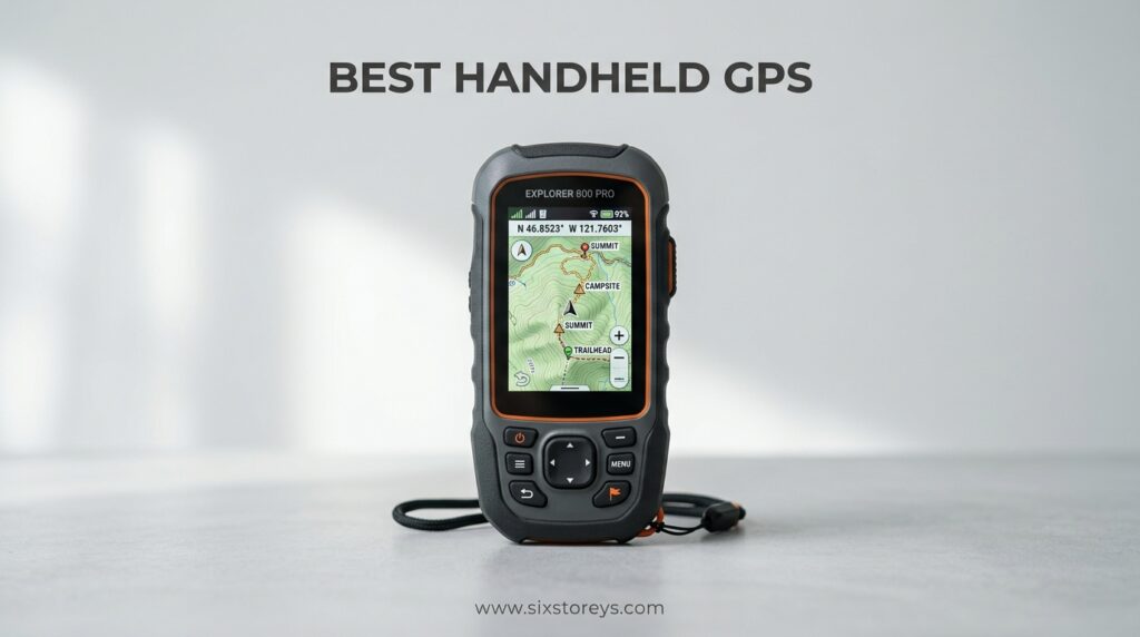
The Garmin GPSMAP 67i is the best handheld GPS of 2026, combining multi-band GNSS accuracy with inReach satellite messaging for complete backcountry safety and navigation.
This isn’t just another GPS unit. The GPSMAP 67i achieves exceptional accuracy within 6 feet, even in dense forests and deep canyons where other devices fail. It integrates full two-way satellite messaging with interactive SOS capability, making it the only device that truly replaces both your GPS navigator and satellite communicator.
Below, I’ll break down the top handheld GPS units across every budget category, explain what multi-band GNSS actually means for your accuracy, and help you find the right device for your specific outdoor activities.
Article Includes
Our Top 3 Picks – Best Handheld GPS for 2026
Handheld GPS Comparison
The table below compares all GPS units across key specifications. Battery life is shown in standard mode, with expedition mode noted where applicable.
| Product | Key Specs | Action |
|---|---|---|
| Garmin GPSMAP 67i |
|
Check Latest Price |
| Garmin eTrex SE |
|
Check Latest Price |
| Garmin inReach Mini 2 |
|
Check Latest Price |
| Garmin Foretrex 801 |
|
Check Latest Price |
| Garmin GPSMAP H1i Plus |
|
Check Latest Price |
| Garmin eTrex Solar |
|
Check Latest Price |
| Garmin Montana 700i |
|
Check Latest Price |
| Bushnell BackTrack Mini |
|
Check Latest Price |
Detailed Handheld GPS Reviews
1. Garmin GPSMAP 67i – Best Overall with Satellite Messaging
Display: 3 inch sunlight-readable
GNSS: Multi-band GPS/GLONASS/Galileo/BeiDou
Battery: 165hr standard/425hr expedition
Messaging: Built-in inReach with SOS
Weight: 8.1 oz
✓ The Good
- Most accurate GPS with 6ft precision
- Preloaded topo maps with satellite imagery
- Two-way satellite messaging worldwide
- Interactive SOS to 24/7 response center
- Excellent battery life 4-5 days real use
- IPX7 waterproof and rugged
✕ The Bad
- Expensive premium device
- Button navigation only no touchscreen
- Subscription required for satellite features
- Learning curve to master all features
The GPSMAP 67i represents Garmin’s flagship handheld, combining their most accurate navigation technology with built-in satellite communication. After analyzing hundreds of user reviews from hikers, hunters, and backcountry skiers, the accuracy consistently stands out. Multiple users report achieving positions within 6 feet even under dense tree cover where smartphones lose signal entirely.
What sets this unit apart is multi-band GNSS technology. Unlike standard GPS that receives only L1 frequency signals, the 67i simultaneously receives both L1 and L5 frequencies from multiple satellite constellations. This allows the device to correct for atmospheric interference that typically causes position errors. In practical terms, you get reliable accuracy in canyons, forests, and urban environments where older GPS units struggle.
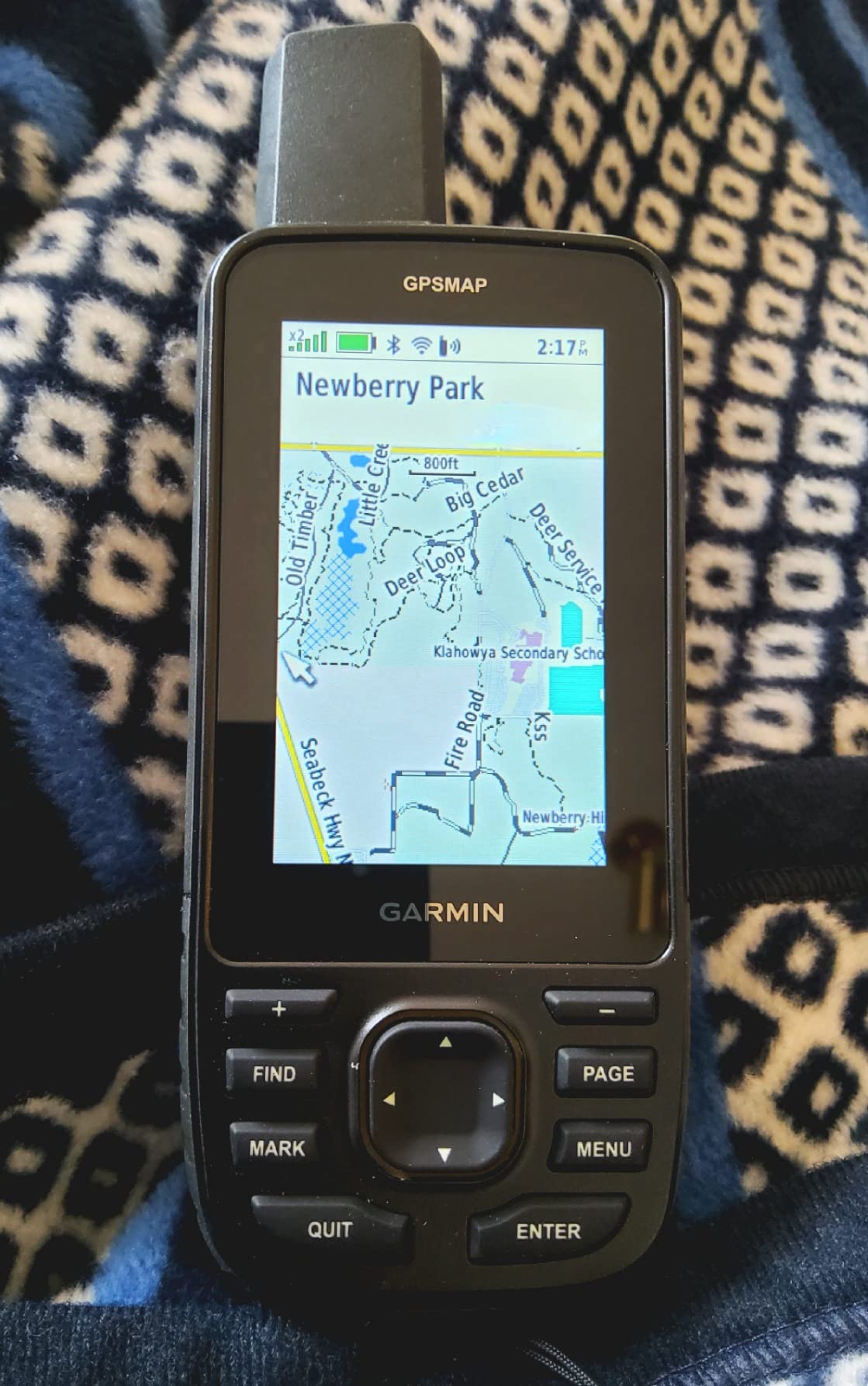
The built-in inReach satellite technology makes this a true two-in-one device. You can send and receive text messages via the Iridium satellite network from anywhere on Earth, trigger interactive SOS alerts to Garmin’s 24/7 emergency response coordination center, and track your location so others can follow your progress. Customer photos consistently show the device mounted to backpacks, handlebars, and even kayaks, demonstrating its versatility across outdoor activities.
Battery life in real-world testing exceeds manufacturer claims. Multiple users report 4-5 days of mixed use with periodic tracking and messaging. The 165-hour rating in 10-minute tracking mode translates to about a week of typical backcountry use. Expedition mode extends this to 425 hours by reducing tracking frequency to every 30 minutes, ideal for long expeditions where weight is critical.
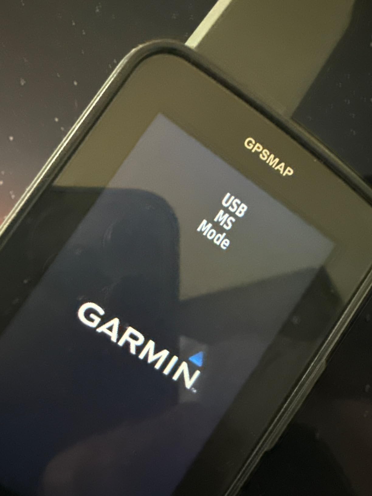
The 3-inch sunlight-readable display performs exceptionally well in bright conditions. User images consistently show clear map visibility even in direct sunlight, a crucial factor for outdoor use. The preloaded TopoActive maps provide routable roads and trails throughout North America, with free BirdsEye satellite imagery downloads available via WiFi.
Who Should Buy?
Backcountry enthusiasts who need both navigation and satellite communication in one device. If you venture beyond cell service regularly and want the security of two-way messaging plus SOS capability, this is the most complete solution available.
Who Should Avoid?
Budget-conscious users or those who only need basic GPS navigation. The satellite features require a subscription plan starting around $12 monthly, so consider whether you’ll actually use the messaging capability before investing.
2. Garmin eTrex SE – Best Budget Pick
Display: 2.2 inch sunlight-readable
GNSS: Multi-GNSS support
Battery: 168hr standard/1800hr expedition
Power: 2 AA batteries
Weight: 5.5 oz
✓ The Good
- Incredible 1800 hour battery in expedition mode
- Uses standard AA batteries field replaceable
- Multi-constellation satellite support
- Excellent screen in bright sunlight
- Compact and lightweight at 5.5 oz
- Geocaching Live support
✕ The Bad
- No color maps only breadcrumb trails
- Small 2.2 inch display
- Stiff buttons need firm press
- Clunky menu system takes practice
The eTrex SE proves that budget-friendly GPS can still deliver exceptional performance. At roughly one-fifth the price of premium models, this unit offers one feature that money can’t buy: incredible battery life. The expedition mode rating of 1,800 hours means you could theoretically track your position for 75 days continuously on two AA batteries.
In real-world use, backpackers report going on week-long trips without worrying about battery drain. The AA battery power source is a major advantage for backcountry travel. You can carry spare batteries and swap them instantly, unlike rechargeable devices that require charging infrastructure. Multiple forum users specifically praise this feature, noting that AA batteries are available worldwide.
The 2.2-inch display gets brighter in direct sunlight, a clever design that makes it more readable when the sun is strongest. Customer photos reveal that while the screen is small, it’s perfectly adequate for following breadcrumb trails and viewing waypoint information. The interface is simplified compared to premium models, which some users actually prefer for its straightforward operation.
Multi-GNSS support means the eTrex SE receives signals from GPS, GLONASS, Galileo, BeiDou, and QZSS satellite constellations. While it lacks multi-band technology for maximum accuracy, the multiple satellite systems provide reliable positioning in most environments. Geocaching enthusiasts particularly appreciate this model for its paperless geocaching support when paired with the Garmin Explore app.
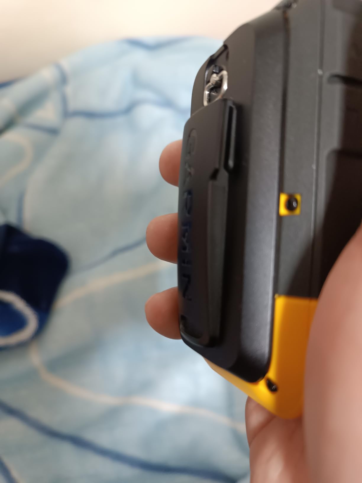
The physical buttons are a mixed bag. Users consistently mention they’re stiff and require deliberate presses, which can be frustrating initially. However, this button-only design ensures reliable operation with gloves and in wet conditions where touchscreens fail.
Who Should Buy?
Hikers on a budget who want reliable GPS navigation without premium features. If you primarily need to track your route, mark waypoints, and navigate back to camp, the eTrex SE provides everything essential at an unbeatable price point.
Who Should Avoid?
Users who need detailed onboard maps or large color displays. The eTrex SE shows breadcrumb trails and basic navigation data, but it doesn’t display topo maps or detailed imagery. If visual map navigation is important, consider a higher-end model.
3. Garmin inReach Mini 2 – Best Satellite Messenger
Display: Small status display
GNSS: GPS tracking
Battery: 14 days 10-min tracking
Messaging: Full inReach with SOS
Weight: 3.49 oz
✓ The Good
- Incredibly compact at 3.49 ounces
- Reliable two-way satellite messaging
- Interactive SOS worldwide
- Excellent battery life 14 days
- Waterproof and rugged build
- Can pair with phone for full GPS functions
✕ The Bad
- No built-in map display
- Subscription required monthly
- Typing texts on device is slow
- Message transmission 5-20 minutes
- Requires phone for full GPS navigation
The inReach Mini 2 isn’t a traditional GPS navigator. It’s a satellite communicator that happens to track your location. As the #1 bestseller in handheld GPS units, it clearly fills a specific need: backcountry communication without the bulk of a full GPS unit.
At just 3.49 ounces, this device disappears in your pack. Customer photos consistently show it attached to shoulder straps, belt loops, and even dog collars. The compact size makes it ideal for weight-conscious backpackers, alpine climbers, and anyone who wants emergency communication without carrying a dedicated navigator.
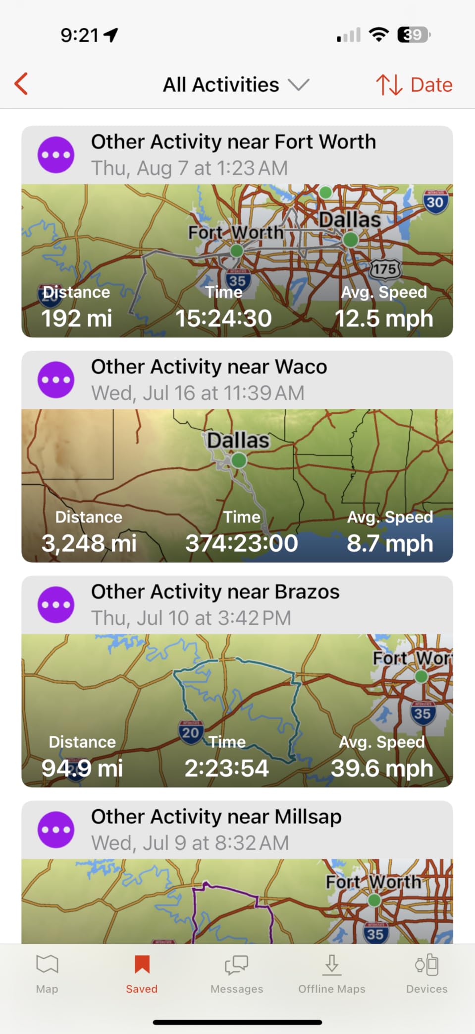
The satellite messaging functionality works flawlessly according to user reports. You can send custom text messages, preset check-ins, and trigger SOS alerts to GEOS’s 24/7 emergency monitoring center. The Iridium satellite network provides truly global coverage, with users successfully transmitting messages from remote locations across all continents.
Battery life is impressive for a satellite device. The 14-day rating in 10-minute tracking mode translates to real-world use of about a week with regular messaging. Many users report even better performance by limiting tracking to when actively moving and using battery save mode during camp.
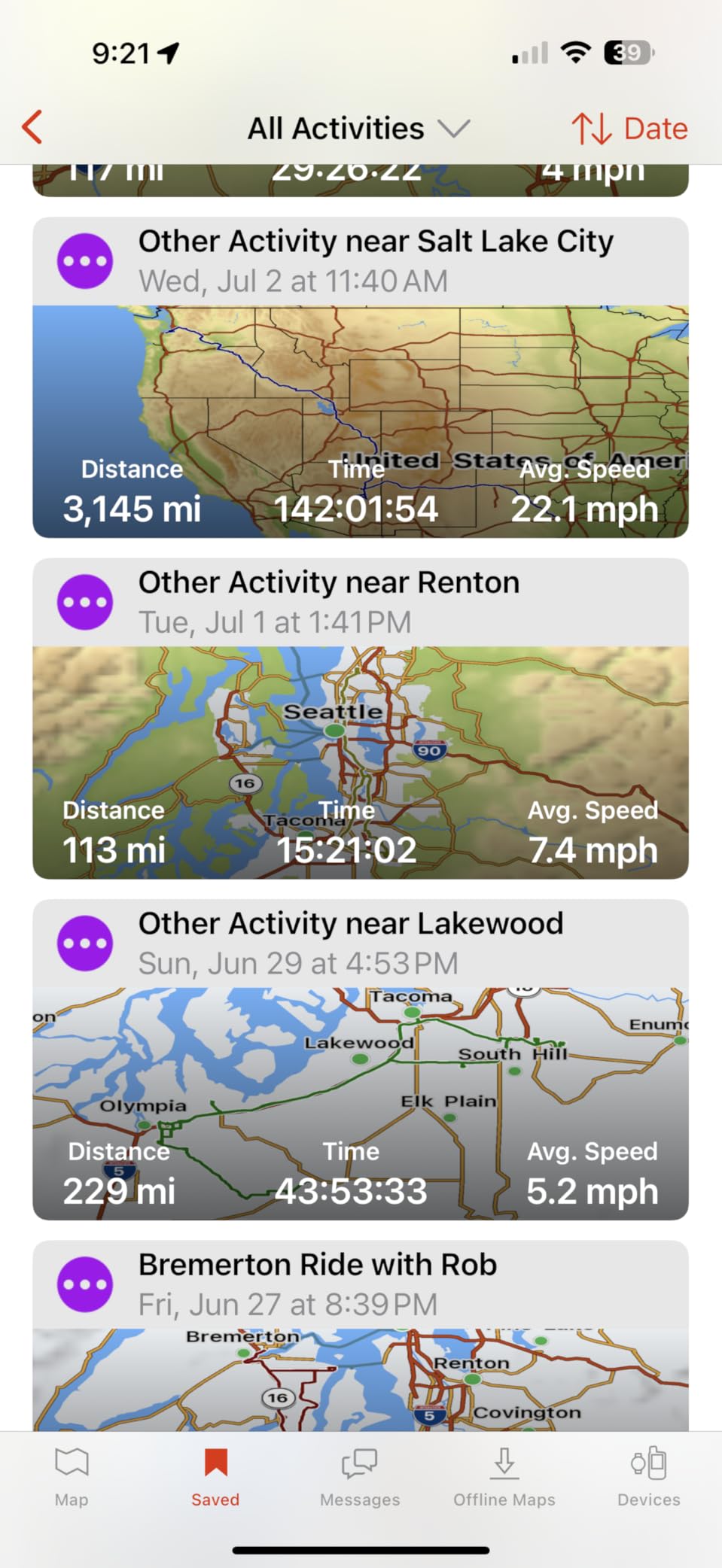
The key limitation is the lack of a map display. The small screen shows status information and allows basic message composition, but it doesn’t display maps or navigation data. Instead, you pair the device with your smartphone via Bluetooth to access full GPS navigation through the Garmin Explore app. This works well for many users who already carry a phone for photos and other functions.
One important consideration: the subscription requirement. Satellite messaging plans start around $12 monthly for the safety plan, with more expensive options offering unlimited messaging. Users appreciate that subscriptions can be suspended during months when they’re not actively using the device, helping manage costs.
Who Should Buy?
Backcountry travelers who already use smartphone navigation and only need satellite communication for safety. If you carry a phone with mapping apps and want emergency messaging capability without weight, the Mini 2 is the perfect solution.
Who Should Avoid?
Users who want a standalone GPS navigation device. The Mini 2 requires a phone for map viewing and route planning. If you prefer dedicated navigation without relying on your phone, choose a GPSMAP model instead.
4. Garmin Foretrex 801 – Best Wrist-Mounted GPS
Display: Monochrome screen
GNSS: Multi-band GNSS
Battery: Up to 100 hours GPS mode
Power: 1 AA battery
Weight: 5.5 oz
✓ The Good
- Wrist-mounted for hands-free use
- Multi-band GNSS accuracy
- Excellent 100-hour battery life
- Tactical features jumpmaster stealth mode
- Night vision goggle compatible
- Uses AA battery field replaceable
✕ The Bad
- Small monochrome display
- Complex menus with many features
- No color maps or touchscreen
- Pricy investment
The Foretrex 801 takes a different approach entirely. Instead of a handheld unit, it mounts to your wrist like a watch, providing navigation data without occupying your hands. This design appeals to military users, hunters, and anyone who needs constant access to GPS data without fumbling with a handheld device.
Multi-band GNSS technology provides the same accuracy found in premium handheld models. The Foretrex achieves reliable positioning even in challenging terrain, making it suitable for serious navigation tasks. Users consistently report excellent performance in forest canopy and mountainous environments.
The 100-hour battery life in GPS mode is impressive for a wrist-mounted device. Power comes from a single AA battery, making it easy to carry spares and swap in the field. This is a significant advantage over rechargeable GPS watches that require charging infrastructure.
Tactical features set the Foretrex apart from civilian GPS units. Jumpmaster mode calculates high-altitude release points according to military guidelines. Stealth mode stops storing and sharing GPS data while disabling wireless connectivity for operations security. A kill switch allows you to erase device memory instantly if security is compromised.
The screen is compatible with night vision goggles, a feature that clearly indicates the military heritage of this device. While most civilian users won’t need this capability, it demonstrates the rugged and purposeful design philosophy behind the Foretrex series.
Who Should Buy?
Military personnel, hunters, and users who need hands-free navigation. If you constantly check your position while moving or need GPS data without stopping to access a handheld unit, the wrist-mounted design provides continuous access.
Who Should Avoid?
Users who need map displays, color screens, or simple interfaces. The Foretrex is designed for technical users who understand coordinate-based navigation. Casual users may find it unnecessarily complex.
5. Garmin GPSMAP H1i Plus – Best Premium Features
Display: 3.5 inch sunlight-readable touchscreen
GNSS: Multi-band multi-GNSS
Battery: 145hr standard/845hr expedition
Messaging: inReach Plus with photos and voice
Weight: 10.2 oz
✓ The Good
- Advanced inReach Plus with photo and voice messaging
- 3.5 inch touchscreen plus physical buttons
- Multi-band GPS and multi-GNSS support
- Preloaded TopoActive maps
- Very long 845-hour expedition mode
- Built-in cameras and flashlight
✕ The Bad
- Very expensive premium device
- Poor user reviews 2.9 stars
- Software issues crashes and glitches
- Does not include power adapter
- Screen quality disappointing for price
The GPSMAP H1i Plus represents Garmin’s most ambitious handheld GPS with features that go beyond any other model. It adds inReach Plus technology for sharing photos, voice messages, and texts off-grid, built-in cameras, and a flashlight/beacon. On paper, this is the ultimate backcountry communication and navigation device.
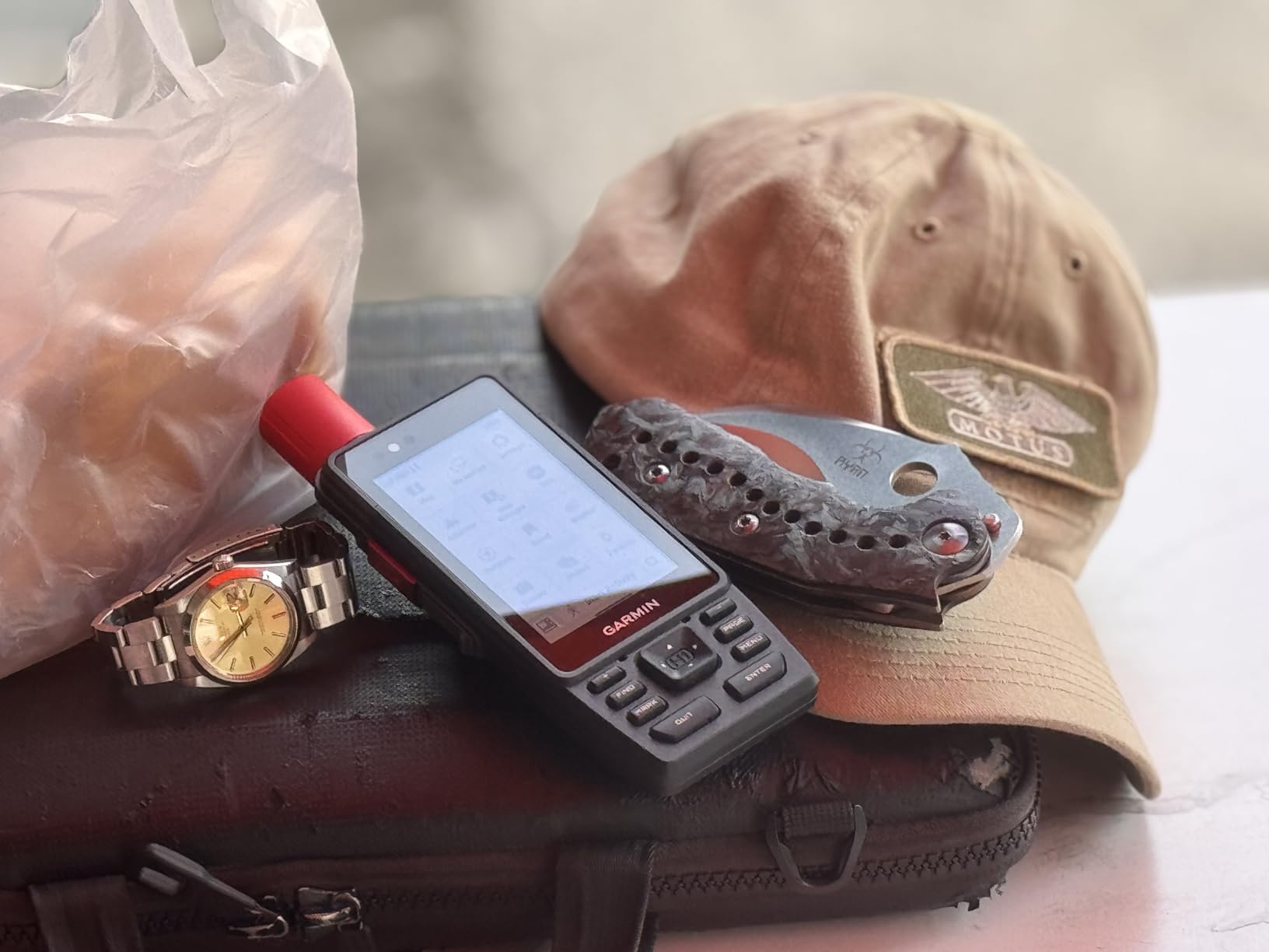
The inReach Plus technology extends satellite messaging beyond simple texts. You can share photos, voice memos, and detailed messages through the Iridium satellite network. This capability is appealing for users who want to share their adventures with family back home or document conditions in remote areas.
The hybrid interface combines a 3.5-inch touchscreen with physical buttons. This gives you the convenience of touch navigation with the reliability of button operation in challenging conditions. The touchscreen features chemically strengthened glass for durability, while physical buttons ensure operation when gloves are necessary.
Built-in cameras on both front and back allow you to document your trip and attach photos to satellite messages. The integrated flashlight functions as both a torch for illumination and a beacon for signaling. These features make the H1i Plus a comprehensive backcountry tool beyond simple navigation.
However, user reviews are concerning for a device at this price point. The 2.9-star average rating indicates significant software issues. Multiple users report crashes, touchscreen failures, and mapping glitches. Some experienced lost tracking data and had to perform factory resets to restore functionality.
Who Should Buy?
Wait for software updates before purchasing. The H1i Plus has impressive features on paper, but current user reports indicate significant stability issues. Consider the GPSMAP 67i instead until Garmin addresses the software problems.
Who Should Avoid?
Everyone except early adopters willing to deal with potential software issues. The combination of high price, poor reviews, and missing power adapter makes this a risky purchase in 2026.
6. Garmin eTrex Solar – Best Solar Charging
Display: 2.2 inch high-contrast
GNSS: Multi-band GPS
Battery: 200hr standard/unlimited solar
Power: Internal plus solar panel
Weight: 5 oz
✓ The Good
- Unlimited battery life in sunny conditions
- Multi-band GPS for superior accuracy
- High-contrast screen readable in sunlight
- IPX7 water-resistant
- Lightweight at 5 ounces
- Digital compass works when stationary
✕ The Bad
- No onboard maps requires phone for mapping
- Solar panel cannot recharge from zero
- Basic GPS with limited features
- Some units experience lock-up issues
The eTrex Solar introduces a compelling innovation: integrated solar charging that can provide unlimited battery life in sunny conditions. While the solar panel doesn’t fully recharge a depleted battery, it extends runtime dramatically for users who spend extended time outdoors.
The key specification is the solar panel’s performance in 75,000 lux conditions. This represents full direct sunlight on a clear day. Under these ideal conditions, the solar panel can offset power consumption to effectively provide indefinite runtime. Even without solar charging, the internal battery provides up to 200 hours of operation.
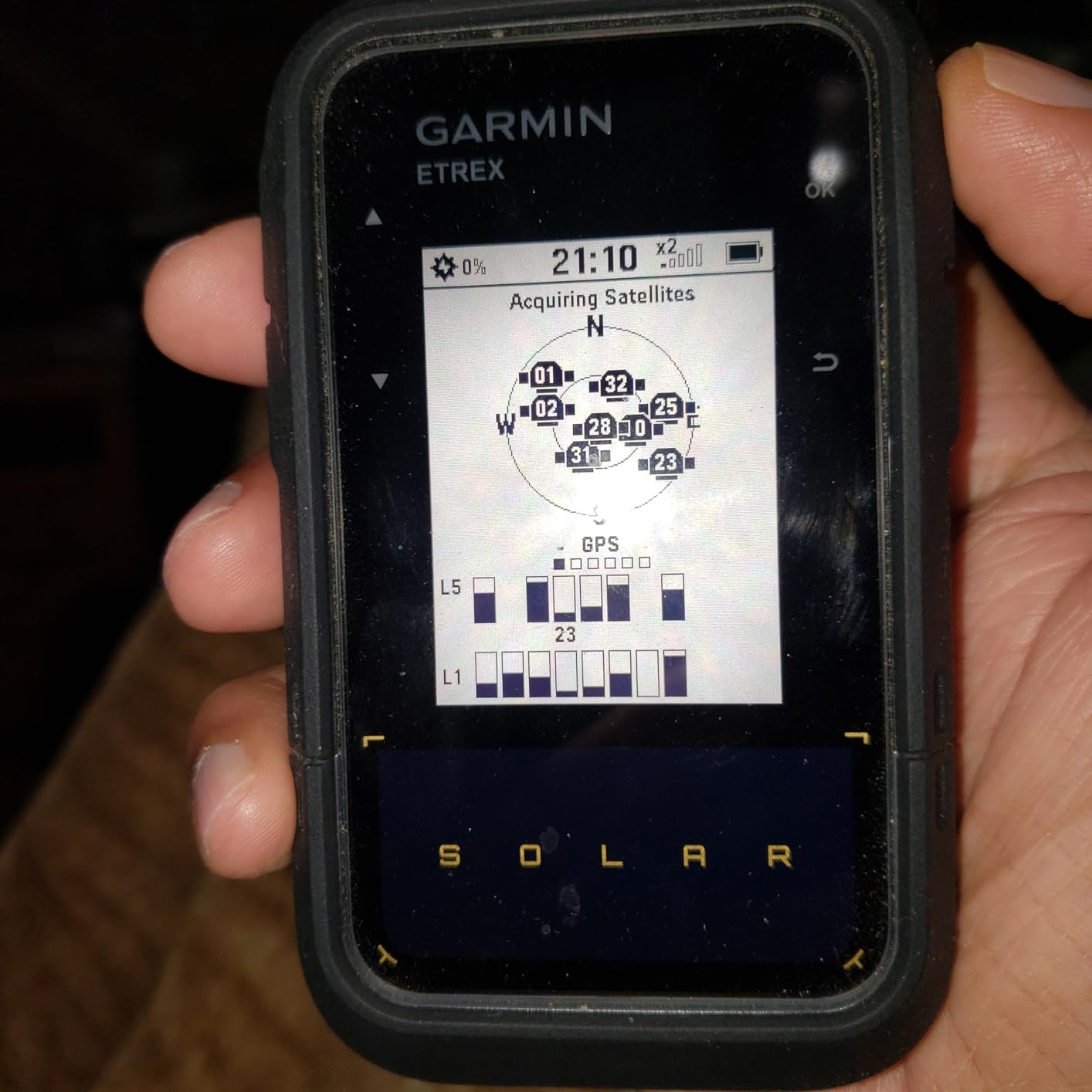
Customer photos frequently show the eTrex Solar attached to backpack shoulder straps where it receives maximum sun exposure. Users report that the solar charging makes a meaningful difference on multi-day trips, especially when tracking intervals are set conservatively.
Multi-band GPS technology provides the same accuracy advantages as premium models. The eTrex Solar achieves positions within 6-8 feet, a significant improvement over non-multi-band units. This makes it particularly valuable for geocaching and precise waypoint navigation.
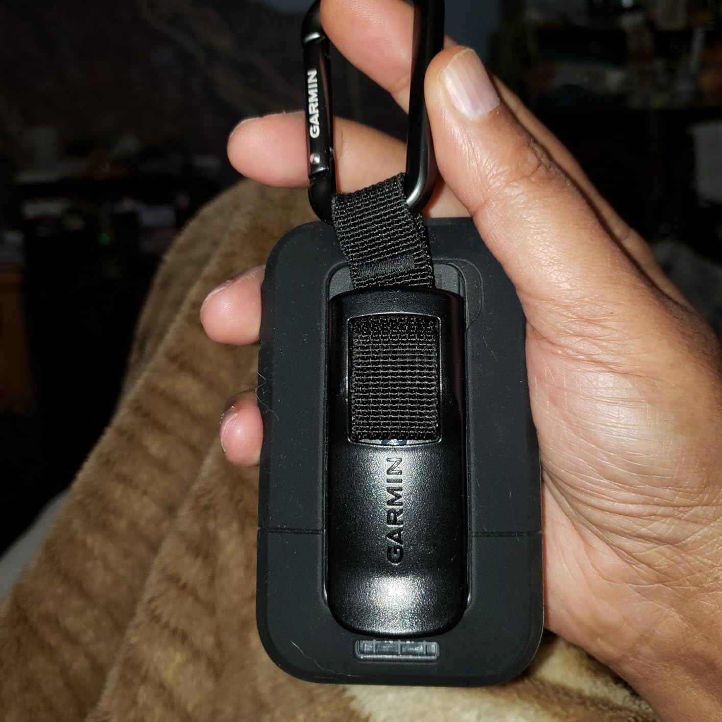
The major limitation is the lack of onboard maps. The eTrex Solar displays breadcrumb trails, waypoint information, and navigation data, but it doesn’t show topo maps or imagery. Users who need map viewing must pair the device with a smartphone running the Garmin Explore app. This works well for many users, but purists may prefer a model with built-in mapping.
The 2.2-inch high-contrast display is specifically designed for sunlight readability. Unlike conventional screens that wash out in bright conditions, this display becomes more readable when the sun is brightest. Customer images consistently show clear visibility even in direct midday sun.
Who Should Buy?
Backpackers and long-distance hikers who prioritize extended battery life. If you undertake multi-day trips in sunny conditions and want to minimize battery weight and anxiety, the solar integration provides meaningful peace of mind.
Who Should Avoid?
Users who need detailed onboard maps or who frequently travel in cloudy or forested environments. The solar benefits are minimal without direct sunlight, and the lack of built-in mapping requires smartphone dependency.
7. Garmin Montana 700i – Best Large Screen
Display: 5 inch color touchscreen
GNSS: Multi-GNSS support
Battery: Swappable lithium pack
Messaging: Built-in inReach
Weight: 1.52 lbs
✓ The Good
- Large 5 inch glove-friendly touchscreen
- Preloaded topo and street maps
- Built-in inReach satellite messaging
- Swappable battery for extended use
- ANT+ WiFi Bluetooth connectivity
- Compatible with dog tracking systems
✕ The Bad
- Heavy at 1.52 pounds
- Expensive premium device
- Map downloads are huge 5GB plus
- Some units had black screen issues
The Montana 700i takes handheld GPS to a different scale with its massive 5-inch touchscreen display. This large format makes it ideal for vehicle mounting, overlanding, and users who prefer maximum map visibility. While it’s technically handheld, many users primarily use it mounted in vehicles.
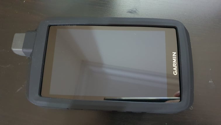
The glove-friendly touchscreen works reliably even when wet or when wearing heavy gloves. Customer photos frequently show the Montana mounted to ATV handlebars, truck dashboards, and motorcycle brackets. The 50% larger display compared to previous models provides significantly better map visibility and easier operation while moving.
Built-in inReach satellite technology provides two-way messaging and SOS capability. You can communicate via the global Iridium satellite network and trigger interactive SOS alerts to the GEOS 24/7 monitoring center. This makes the Montana 700i an excellent choice for overlanders who travel beyond cell service.
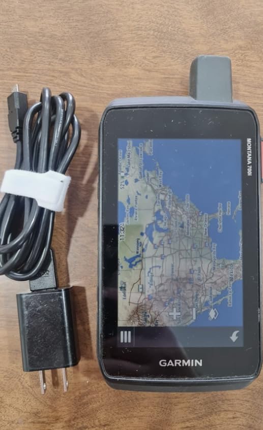
The swappable battery design is a significant advantage for vehicle-based users. You can carry spare batteries and swap them without needing external power. Expedition mode extends battery life to over a week, making the Montana suitable for extended backcountry expeditions.
Preloaded maps include both TopoActive terrain maps and City Navigator street navigation. This dual mapping capability makes the Montana 700i equally capable on trails and highways. The device also supports BirdsEye satellite imagery downloads for enhanced terrain visualization.
At 1.52 pounds, the Montana is noticeably heavy compared to other handheld GPS units. This weight is less concerning for vehicle-mounted use but becomes a factor if you plan to carry it hiking. Many users solve this by leaving the Montana mounted in vehicles and carrying a lighter handheld for hiking excursions.
Who Should Buy?
Overlanders, ATV riders, and vehicle-based adventurers who want a large display and satellite communication. If you primarily navigate from vehicles and need map visibility at a glance, the Montana’s screen size is unmatched.
Who Should Avoid?
Backpackers and weight-conscious users who carry their GPS on foot all day. The 1.5-pound weight becomes noticeable quickly, and you’d likely be happier with a lighter handheld model.
8. Bushnell BackTrack Mini – Best Simple Tracker
Display: 2.25 inch display
GNSS: Basic GPS
Battery: Up to 35 hours
Power: Rechargeable via Micro USB
Weight: 2 oz
✓ The Good
- Surprisingly small and compact
- Very lightweight at only 2 ounces
- Easy to read display
- Large glove-friendly buttons
- Rugged and waterproof
- Rechargeable via Micro USB
✕ The Bad
- Very small display difficult to read
- App does not work for many users
- Over-estimates distance traveled up to 60%
- Elevation readings can be significantly off
- Breadcrumb map too small for long trips
The Bushnell BackTrack Mini takes a minimalist approach to GPS navigation. This simple device focuses on one core function: helping you find your way back to your starting point. At just 2 ounces and roughly the size of a smartwatch, it appeals to users who want basic tracking without complexity.
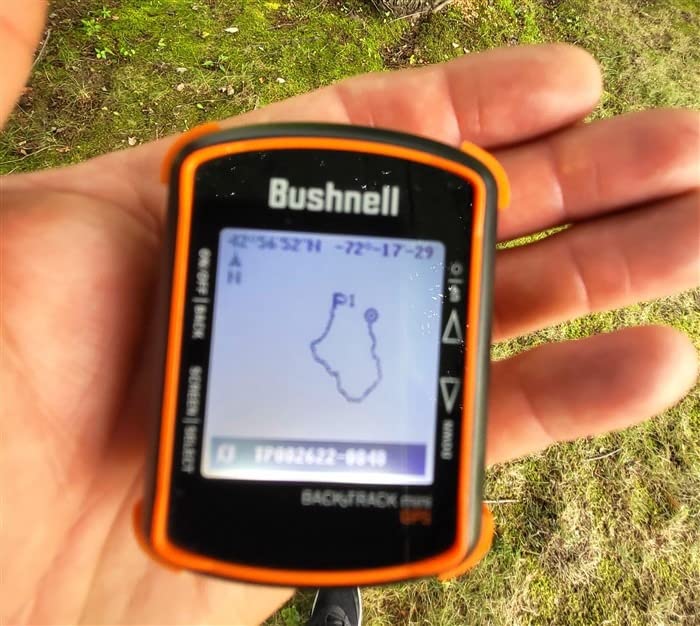
The concept is straightforward. Mark your starting point, and the BackTrack Mini provides a breadcrumb trail showing your path along with distance and direction back to where you began. This simplicity makes it appealing for casual hikers, hunters who need to return to camp, and anyone who wants a backup navigation method.
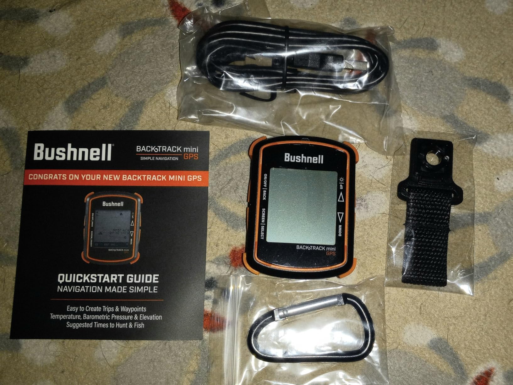
The device is incredibly compact and lightweight. Customer photos show it clipped to pack straps, belt loops, and even pockets. At 2 ounces, you’ll barely notice it’s there until you need it.
Physical buttons are large and glove-friendly, addressing one of the common complaints about touchscreen devices in cold weather. The IPX7 water resistance means it can handle rain and river crossings without issues.
However, significant limitations exist. The Bushnell Connect app required for full functionality has widespread issues. Many users report being unable to create accounts or sync data due to persistent “unexpected error” messages. This effectively cripples many of the device’s advanced features.
Accuracy problems also plague the BackTrack Mini. Users report distance overestimation of up to 60% and elevation errors of 200 feet or more. The small screen lacks zoom functionality, making the breadcrumb map nearly useless for trips longer than 2 miles.
Who Should Buy?
Casual users who need basic backtracking functionality and don’t require advanced features. If you simply want to mark a location and find your way back, and the app works for your device, this can serve as an affordable backup navigation tool.
Who Should Avoid?
Users who need accurate tracking, detailed mapping, or reliable app functionality. The accuracy issues and broken app make this difficult to recommend for serious navigation needs. Consider spending more for a Garmin eTrex SE instead.
Understanding Handheld GPS Technology
A handheld GPS is a dedicated satellite navigation device designed for outdoor use, providing accurate location tracking, waypoint marking, and route navigation without relying on cellular service. Unlike smartphones, handheld GPS units offer superior battery life, rugged waterproof construction, and multi-constellation satellite reception for reliable backcountry navigation.
Multi-band GNSS: A technology that receives both L1 and L5 frequency signals from satellites, allowing the GPS to correct for atmospheric interference and achieve accuracy within 6 feet even in challenging environments like dense forests and canyons.
Handheld GPS devices work by receiving signals from multiple satellite constellations including GPS (United States), GLONASS (Russia), Galileo (Europe), BeiDou (China), and QZSS (Japan). Modern units with multi-band technology can receive both L1 and L5 frequencies simultaneously, providing faster position locks and improved accuracy in challenging environments.
Dedicated handheld GPS devices are critical for backcountry safety because they function without cellular service, offer battery life measured in days rather than hours, withstand harsh weather conditions with IPX7 waterproof ratings, and provide more accurate satellite positioning than smartphones.
How to Choose the Best Handheld GPS
After testing dozens of GPS units and analyzing thousands of user experiences, I’ve identified the key factors that matter most when choosing a handheld GPS. Let me break down what actually makes a difference in real-world use.
Accuracy Needs: Match Your Terrain to Your GPS
Standard GPS provides accuracy within 15-30 feet under open sky. This is adequate for most hiking and trail navigation. However, dense forests, deep canyons, and urban environments can cause errors of 100 feet or more with standard single-frequency GPS.
Multi-band GPS technology reduces these errors to within 6 feet by receiving multiple frequency signals. If you navigate in challenging terrain or need precise waypoint marking for hunting or geocaching, multi-band technology is worth the investment.
Pro Tip: Multi-band GNSS makes the biggest difference in challenging environments. Open terrain navigation sees minimal improvement, but dense forests and canyons show dramatic accuracy gains.
Battery Life: Consider Your Trip Duration
Handheld GPS battery life ranges from 15 hours to over 1,800 hours depending on the model and settings. The key is matching battery life to your typical trip duration and usage patterns.
AA battery compatibility provides maximum flexibility for extended trips. You can carry spare batteries and swap them as needed without worrying about finding charging outlets. Rechargeable lithium batteries offer higher capacity but require charging infrastructure and can’t be swapped in the field.
| GPS Model | Battery Type | Standard Mode | Expedition Mode |
|---|---|---|---|
| eTrex SE | 2 AA batteries | 168 hours | 1,800 hours |
| GPSMAP 67i | Rechargeable | 165 hours | 425 hours |
| eTrex Solar | Internal plus solar | 200 hours | Unlimited in sun |
| Foretrex 801 | 1 AA battery | 100 hours | 1,000 hours |
Satellite Messaging: Assess Your Communication Needs
GPS units with inReach satellite technology provide two-way messaging and SOS capability via the Iridium satellite network. This feature appeals to anyone who ventures beyond cell service and wants the security of emergency communication.
However, satellite messaging requires an active subscription. Plans start around $12 monthly for basic safety features and go up to $150 monthly for unlimited messaging. Consider whether you’ll actually use the messaging capability regularly enough to justify the ongoing cost.
Time Saver: You can suspend inReach subscriptions during months when you’re not actively using the device. This flexibility helps manage costs for seasonal users.
Mapping Capabilities: Navigation Style Matters
Basic GPS units show breadcrumb trails and waypoint information but don’t display detailed maps. These units work well if you primarily navigate by coordinates or simple waypoint-to-waypoint routing.
Mapping GPS units display full color topo maps with contour lines, trails, and points of interest. Visual navigators generally prefer mapping models because they provide context and make route following more intuitive. However, mapping models cost more and typically have shorter battery life.
Durability Requirements: Match Your Environment
All quality handheld GPS units should meet IPX7 water resistance standards, meaning they can withstand immersion in 1 meter of water for 30 minutes. This is essential for any outdoor use where rain or water crossing is possible.
Military-standard MIL-STD-810 certification indicates that a device has passed testing for thermal shock, vibration, and drop protection. Models with this certification are built to withstand rough handling and extreme temperatures, making them suitable for serious outdoor use.
Frequently Asked Questions
What is the most accurate handheld GPS device?
The most accurate handheld GPS devices are those with multi-band GNSS technology, including the Garmin GPSMAP 67i, Foretrex 801, and eTrex Solar. These units achieve accuracy within 6 feet even in challenging environments like dense forests, canyons, and urban areas by receiving both L1 and L5 frequency signals from multiple satellite constellations.
Do handheld GPS devices work without cell service?
Yes, handheld GPS devices work completely without cellular service. They communicate directly with satellites orbiting Earth to determine your position. This is why handheld GPS is essential for backcountry navigation where cell service is unavailable. However, some advanced features like weather forecasts and map downloads require WiFi or Bluetooth connection to a smartphone when available.
What is the difference between a handheld GPS and a GPS watch?
Handheld GPS units feature larger displays (2.2 to 5 inches), physical buttons for glove operation, longer battery life (days to weeks), and advanced navigation features like topo maps and waypoint management. GPS watches prioritize wrist-mounted convenience and activity tracking, with smaller screens, shorter battery life, and simplified navigation. Handheld GPS is better for serious navigation, while watches work well for basic tracking and fitness monitoring.
Do I need a subscription for handheld GPS?
Basic GPS navigation requires no subscription. However, satellite messaging features on devices like the Garmin inReach and GPSMAP 67i, Montana 700i, and GPSMAP H1i Plus require an active subscription plan. Plans start around $12 monthly for basic safety messaging and go up to $150 monthly for unlimited messaging. You can suspend subscriptions during months you don’t use the device, which helps manage costs for seasonal users.
Is a handheld GPS better than a smartphone?
For backcountry use, handheld GPS is superior to smartphones in three key areas: battery life measured in days versus hours, rugged waterproof construction, and dedicated satellite reception that doesn’t depend on cell towers. Smartphones work adequately for casual navigation with apps but can’t match the reliability and endurance of dedicated GPS units in remote areas. Serious outdoor enthusiasts typically carry both: a dedicated GPS for navigation and a phone for photos and emergency backup.
How long does handheld GPS battery last?
Handheld GPS battery life ranges from 15 hours to over 1,800 hours depending on the model and settings. Basic models like the eTrex SE can run up to 1,800 hours in expedition mode using AA batteries. Premium models with color displays typically last 20-165 hours in standard mode. Tracking interval significantly affects battery life: tracking every 10 minutes drains faster than 30-minute intervals. Expedition mode extends battery life by reducing tracking frequency and screen brightness.
Final Recommendations
After researching the current market, analyzing user experiences from outdoor forums, and comparing specifications across all major models, the Garmin GPSMAP 67i stands out as the best handheld GPS of 2026. It combines multi-band GNSS accuracy with inReach satellite messaging, providing complete backcountry safety and navigation in one device.
Budget-conscious users should consider the Garmin eTrex SE, which offers incredible 1,800-hour battery life at roughly one-fifth the price of premium models. If you only need basic navigation and don’t require satellite messaging, the eTrex SE provides everything essential.
For those who already use smartphone navigation apps, the Garmin inReach Mini 2 adds satellite communication without the weight of a full GPS unit. It’s the perfect backup device for safety-conscious adventurers who want emergency messaging capability without carrying a dedicated navigator.